
Franz E. Arnold
Sub-national forest reference level for mangrove forests: An opportunity for jurisdictional or biome-wise REDD+ implementation in Myanmar
Myanmar became a partner country of the UN-REDD Programme in December 2011. Since then the country has been in the process of establishing the REDD+ design elements according to the Warsaw Framework for REDD+ with different projects and programmes. In 2018, the first national scale Forest Reference Level was submitted to the UNFCCC1.
The NDC of Myanmar with updated quantitative targets of emission reductions (ER) from the forestry and other land use (FOLU) sector has been submitted to UNFCCC in July 20212. The relevant targets of the FOLU sector are: a 50% reduction of deforestation by 2030 as a conditional target and a 25% reduction of deforestation by 2030 as un-conditional target.
Conservation and restoration actions of mangrove forests with their high carbon density and very long-time carbon storage capacity are important contributors to achieving the NDC targets of the FOLU sector. Results from recent studies in Myanmar mangroves show that carbon densities per area unit in mangrove forests are more than 10 times higher than the national average across all natural forest types (Arnold et al. 2023, forthcoming).
However, no specific baseline as a benchmark for REDD+ in Myanmar mangroves exists, as yet. The national FRL of Myanmar does not develop forest type specific data on land area, area change, carbon stock, and changes in carbon stocks.
In this article perspectives of increasing the visibility of mangroves in REDD+ in Myanmar are explored as a first step to forest type specific data sets in national forest reference levels and potential linkages to carbon accounting at subnational and jurisdictional levels.
Guidance for Developing Subnational Forest Reference Levels
Under UNFCCC guidance sub-national forest reference levels are mainly seen as an interim measure or a step towards national scale reference levels. However, subnational programmes are becoming more and more important in the context of the growing demand for emission reductions and the availability of climate finance opportunities for fulfilment of commitments under the Paris Agreement but also the voluntary carbon market. Relevant criteria for subnational or jurisdictional REDD+ implementation and forest reference levels can be drawn from the TREES3 standard of the Architecture for REDD+ Transactions (ART)4 and the pilot programme for REDD+ results-based payment (RBP) of the Green Climate Fund (GCF)5:
|
Table 1: General criteria for sub-national forest reference levels
|
There are more sets of guiding criteria that may be of relevance for developing subnational reference levels when it comes to accessing other specific climate finance schemes (e.g. FCPF Carbon Fund6, voluntary carbon market through VCS-Verra7).
Perspectives for subnational or jurisdictional level forest reference levels in Myanmar mangroves
Given the above criteria (table 1) consistency of a forest reference level for the mangrove biome with national scale forest carbon accounting is of paramount importance.
In Myanmar the NFMS measures the mangrove forests separately from the evergreen lowland forest type both in the National Forest Inventory (NFI) and the satellite-based land monitoring system (SLMS). The NFI treats mangroves as a stratum separate from the upland forests and in the SLMS mangroves are measured as one of 11 national land use/ land cover classes for different reporting schemes (e.g. FAO’s FRA, UNFCCC-GHG reporting). Thus, consistency and non-overlap of mangrove areas with other lowland evergreen forest areas is warranted.
Activity data, emission factors as well as REDD+ actions and their impact on the ground can therefore separately be monitored and accounted for in mangroves while being fully integrable with a national scale accounting system for all forest types and land classes.
In jurisdictional terms, the regions with major mangrove forests in Myanmar (Ayeyarwady, Tanintharyi, Rakhine) either one, two or all aggregated could serve as the scale of sub-national REDD+ programmes and corresponding reference levels. However, ART-TREES requires a minimum accounting area of 2.5 million ha of forests. This condition would mean that carbon finance from ART-TREES for the mangrove biome only in Myanmar would not be possible, unless other evergreen lowland rainforest types would be included together with mangroves.
Data Availability in Myanmar
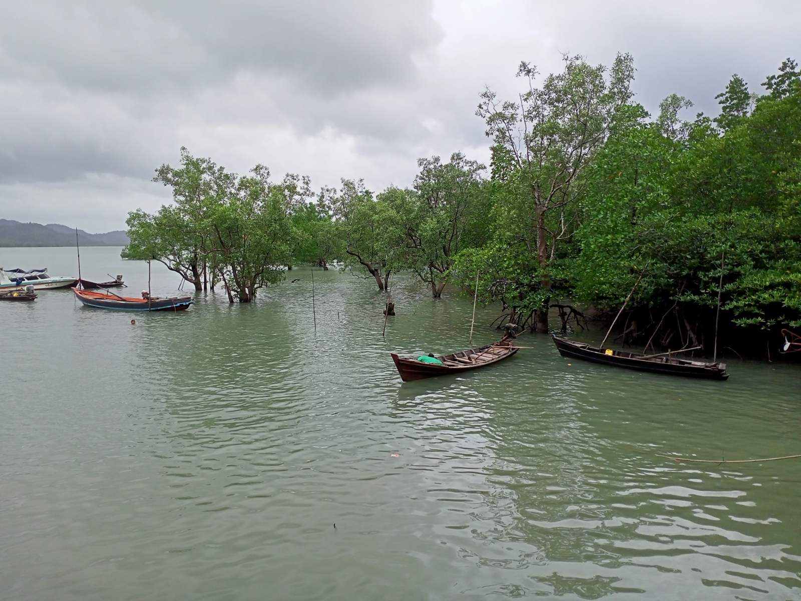
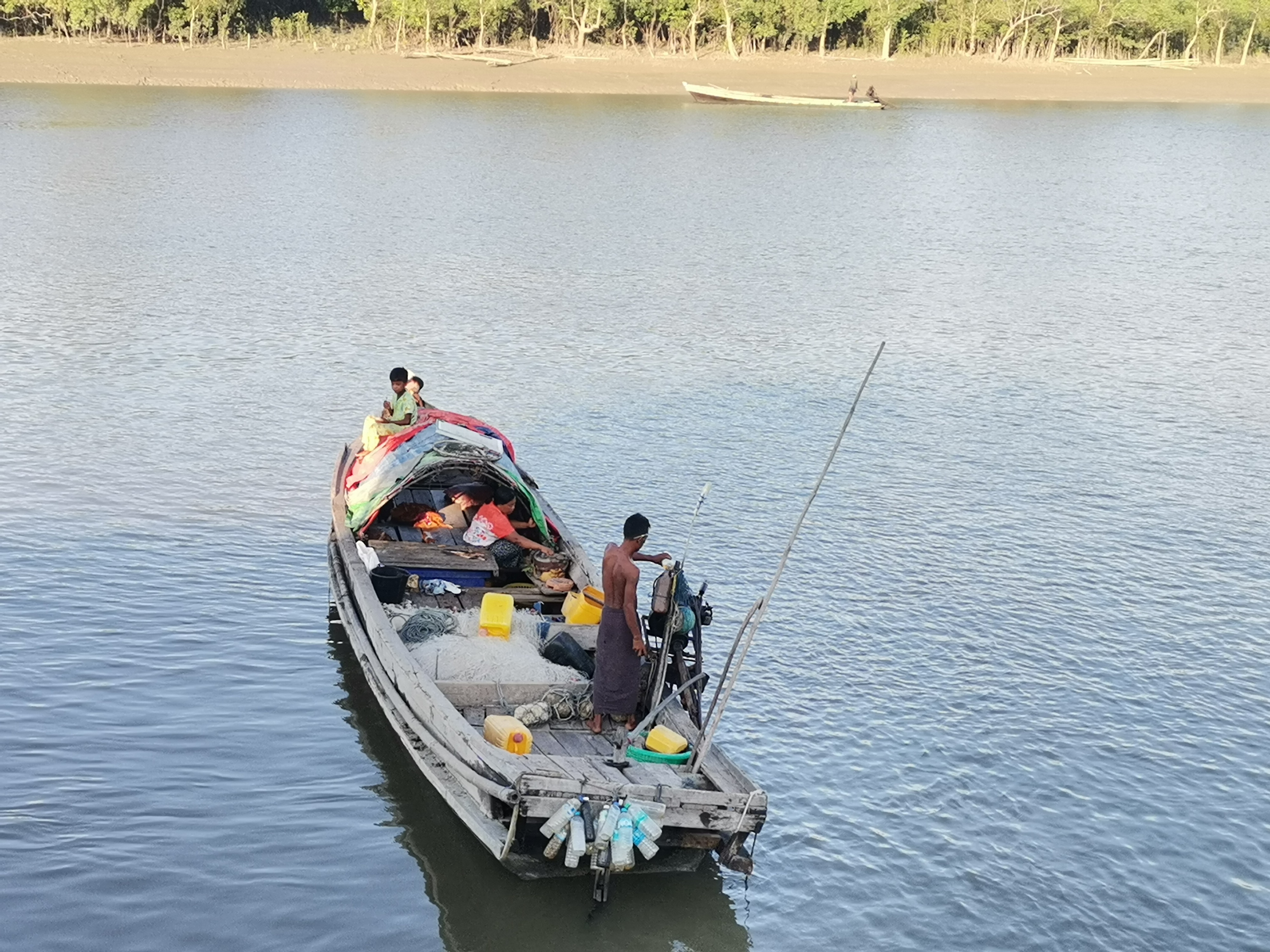
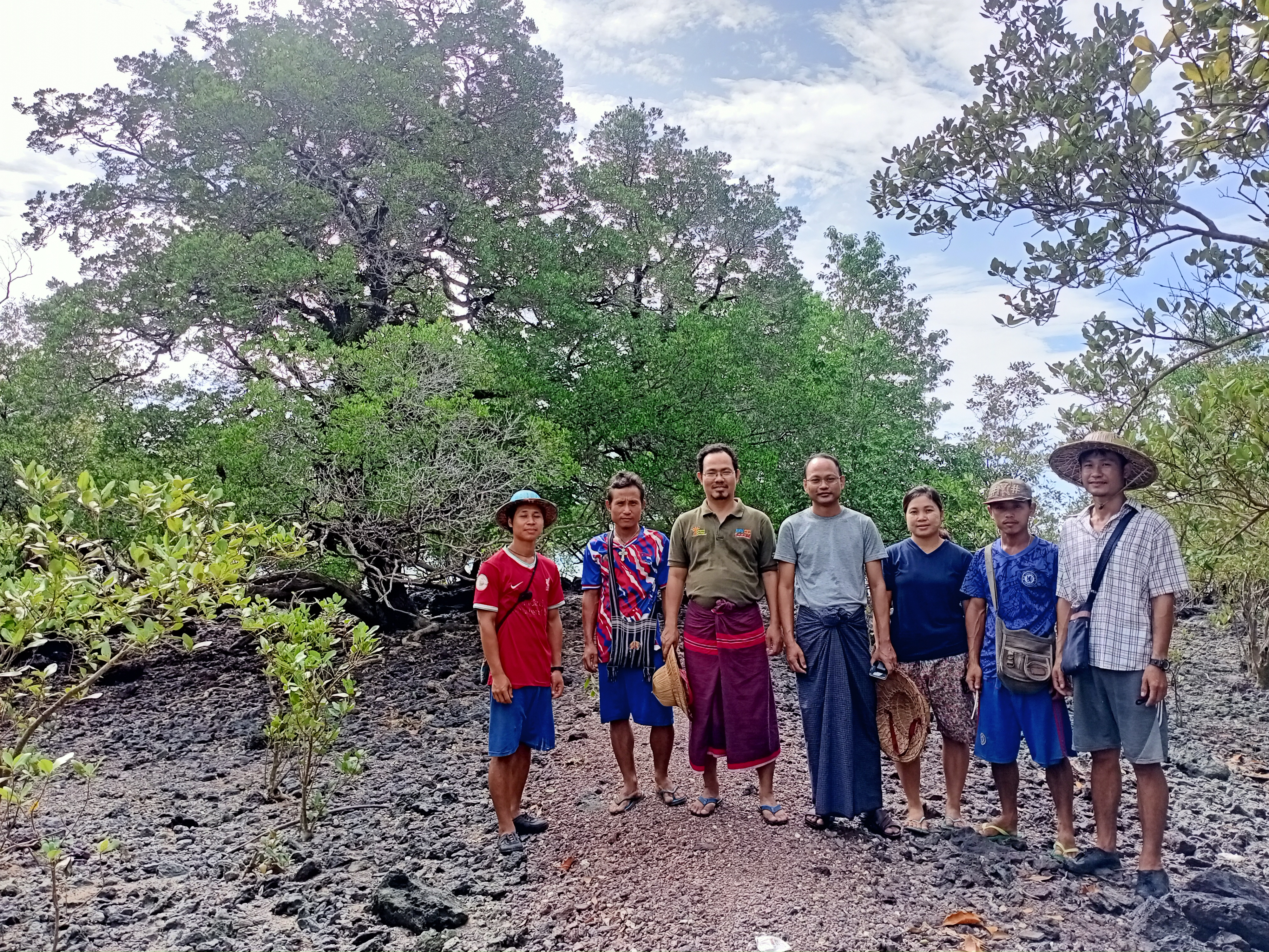
Ground-based forest inventory data for mangroves are available from 2019 and 2020 field data collections. The results are summarised in a recent report to FAO Myanmar and the UN-REDD Programme through the project UNJP/GLO/795/UNJ – Myanmar Mangroves Initiative (Arnold et al. 2023). Biomass and Carbon stock estimates were developed for four carbon pools including soil organic carbon and updated emission factors derived from there (table 2). Biomass data for AGB and BGB are also available at the level of 199 georeferenced NFI clusters in mangroves of Ayeyarwady region and two districts in Tanintharyi region (Dawei, Kawthaung).
|
Table 2: Emission factors in mangrove forests national FRL vs updated figures
|
Land area and area change data are available through different sources. Nationally recognized baseline data for mangrove forest areas have been developed through an FAO TCP project for the year 2015 with 472178 ha at national scale. The mangrove stratum reference areas of the NFI for Ayeyarwady is 74917 ha and in Tanintharyi for the two districts of Kawthaung and Dawei it is 102677 ha. A plot-based mangrove land area and area change assessment for2015/16 - 2019/20 (4 full years) has been developed from the NFI clusters measured in the field (table 3).
|
Table 3 Plot based area estimates in mangrove stratum years 2015/16 vs 2019/20 in hectare
|
||||||||||||||||||||||||||||||||||||||||||||||||||||||||
During 2020 and 2021 a remote sensing (RS) based spatial data analysis for mangroves in Ayeyarwady and Tanintharyi (all three districts) was carried out over a full 5-year period 2015/16 – 2020/21 (Hojas-Gascón et al. 2021)8. The results are summarised in table 4.
|
Although the absolute values are different in these two ways of area assessments, the trends of change are similar: Change rates of combined forest loss and degradation are roughly three times higher in Ayeyarwady as opposed to Tanintharyi region.
Conclusions
The established technical capacities of NFMS through the new NFI approach and the upgraded SLMS in Myanmar are at a level that can likely satisfy the requirements of several climate finance instruments for the development of subnational REDD+ implementation.
However, there are also challenges to be considered which go beyond technical issues of carbon accounting and measurement. For instance, comprehensive capacity building of civil servants, institutions, and civil society organizations will be essential for the successful implementation of a subnational REDD+ programme as is meaning full participation of stakeholders and adequate management of their expectations. The latter has also been found in a recent survey conducted by UNDP9 in 35 subnational jurisdictions across seven countries (Brazil, Mexico, Peru, Ecuador, Nigeria, Côte d’Ivoire, Indonesia) and there are sufficient reasons to consider the same for Myanmar too.
1 https://redd.unfccc.int/files/revised-myanmar_frl_submission_to_unfccc_webposted.pdf
2 https://unfccc.int/sites/default/files/NDC/2022-06/Myanmar%20Updated%20%20NDC%20July%202021.pdf
3 https://www.artredd.org/trees/
4 https://www.artredd.org/
5 https://www.greenclimate.fund/sites/default/files/document/terms-reference-pilot-programme-redd-results-based-payments.pdf
6 https://www.forestcarbonpartnership.org/system/files/documents/fcpf_carbon_fund_methodological_framework_revised_2020_final_posted.pdf
7 https://verra.org/programs/jurisdictional-nested-redd-framework/
8 Unpublished ppt for the project UNJP/GLO/795/UNJ – Myanmar Mangroves Initiative
9 https://www.adaptation-undp.org/sites/default/files/resources/jurisdictional_redd_approaches_-jan_11.pdf
Download the full report below: