
The landscape approach has long been a prominent concept in environmental conservation and natural resource management. An integrated land-use-planning approach engages stakeholders from various economic and social sectors and takes different objectives and activities in a landscape into account. It aims to enable sectors – individually or together – to achieve their goals with minimum conflict and enhanced benefits for society, the economy, and the environment. REDD+ planning offers an opportunity to practice this approach.
Integrated land use planning
Viet Nam has included integrated land use planning in its REDD+ strategy at the national level, while also applying it at the provincial level. Viet Nam’s national REDD+ strategy – known as its National REDD+ Action Programme – was updated in 2017 and sets out the actions, or ‘policies and measures,’ needed to achieve the country’s REDD+ objectives. It is currently being operationalised through the development of a REDD+ investment plan. The initial focus of this plan is to use integrated land use planning to reach a national target of 16.24 million hectares of land for forestry by 2020.
Integrated land use planning also features strongly in Viet Nam’s provincial REDD+ action plans. This involves using spatial analysis and participatory mapping by stakeholders to tailor REDD+ actions to address specific local drivers of deforestation and forest degradation, and barriers to enhancement of forest carbon stocks, as well as conservation and sustainable management of forests. As the drivers of deforestation and forest degradation are cross-sectoral by nature, this requires the involvement of a range of sectors. For example, addressing the expansion of coffee and rubber into forest areas requires the involvement of farmers, local communities, agricultural agencies and the private sector. Through participatory processes, subnational planning can increase the transparency, local ownership, and social and environmental sustainability of REDD+.
Gaining through knowledge sharing
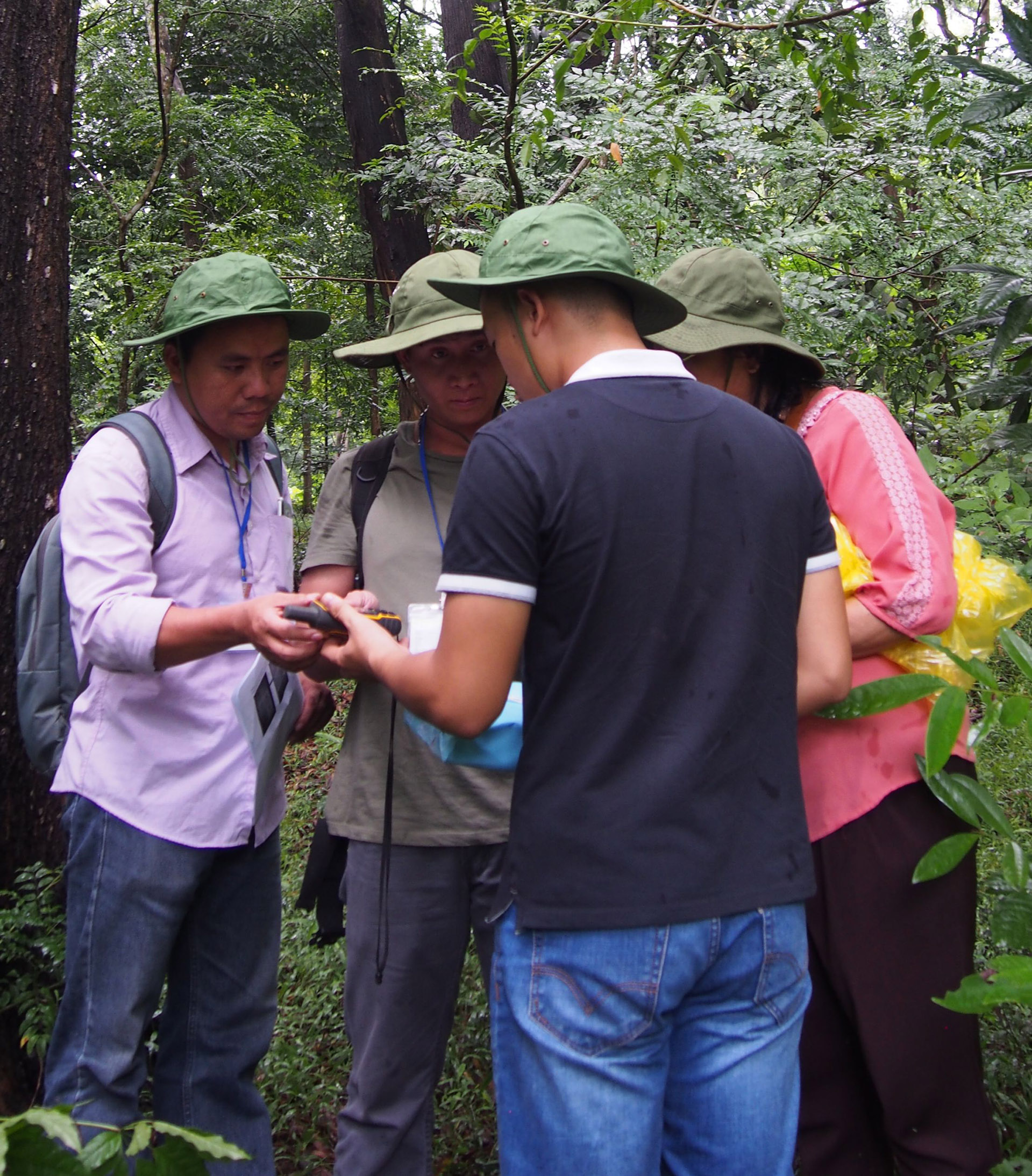
Viet Nam’s experience in applying integrated land use planning to support REDD+ is being shared across the country, as well as with other countries in the region. In October 2017, Viet Nam hosted a South-South learning event, which saw the exchange of experiences among countries in the Lower Mekong Basin, and built capacity on tools and approaches for integrated land-use planning. The event focused on the integration of ecosystem services and climate change considerations into planning, and on subnational REDD+ planning.
A stock-taking workshop, with around 70 participants from a range of Vietnamese organisations and from the Lower Mekong Basin countries of Cambodia, Lao PDR and Myanmar, was followed by a technical session on the use of spatial analysis to support integrated land use planning for REDD+ and the mainstreaming of multiple benefits.
In December, Vietnamese government representatives from the Ministry of Planning and Investment, and the Ministry of Natural Resources and Environment, as well as the National Assembly, travelled to France, with support provided by the UN-REDD Programme and Expertise France. The exchange focused on integrated planning, with the aim of integrating forests into planning reforms in Viet Nam.
In step with reform
Viet Nam’s efforts to promote integrated land use planning for REDD+ are part of a wider shift in its approach to planning. Viet Nam has initiated significant planning reforms; consolidating around 25 laws and thousands of different plans into a streamlined planning process under one Planning Law. Integrated approaches will play a major role in realising this streamlined process.
Part 2 of this post shares the lessons generated from Viet Nam’s experiences with integrated land use planning and the landscape approach. Click here to read.
The UN-REDD Programme has developed a range of resources to support countries with using spatial analysis and other tools to support land-use planning:
To learn more about Viet Nam’s experience in using integrated land use planning for REDD+, please see:
-
Integrated land-use planning for REDD+: lessons from combining spatial analysis and participatory approaches at the sub-national level in Viet Nam (English: high res, low res; Vietnamese: high res, low res)
-
Sub-regional learning event on integrated land-use planning and mainstreaming of multiple benefits: technical session. October 2017 (Report: English, Vietnamese; Workshop material: English, Vietnamese)


