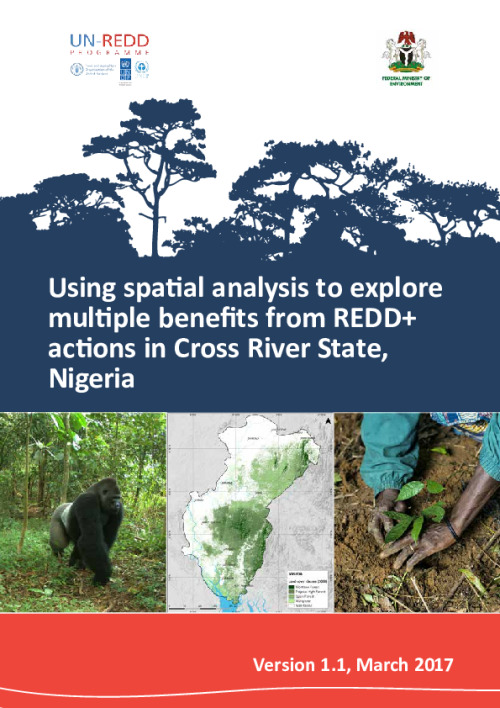
Using spatial analysis to explore multiple benefits from REDD+ actions in Cross River State, Nigeria (low resolution)
Low resolution
High resolution version available here
REDD+ is centred on the key principle that through more sustainable forest management practices, it is possible to both reduce GHG emissions produced by deforestation and by the forestry sector, and enhance the capacity of the forestry sector to act as a carbon sink. In addition, REDD+ can provide advantages to countries, such as results-based payments for each ton of carbon emissions reduced or removed, international recognition for mitigation results, and other, non-carbon benefits to the environment, economy and society. The full range of benefits that may be achieved through REDD+ are known as ‘multiple benefits’.
The goal of this study is to support the development of national and State-level REDD+ strategies in Nigeria and Cross River State that take into account the potential benefits and risks of REDD+ actions. It uses spatial analysis to explore the potential for promoting multiple benefits from selected REDD+ actions in Cross River State, as well as other REDD+ related planning factors, such as changes in forest and land cover and particular pressures on forests.
The forests of Cross River State provide essential goods and services to people within the State and beyond. In addition to their role in storing and sequestering carbon and thus contributing to the mitigation of climate change, the State’s forests support people’s livelihoods and well-being through the provision of forest products, support for an emerging ecotourism industry and a role in limiting the negative effects of soil erosion. These forests are also home to biodiversity of local and international conservation importance.
The use of spatial analysis can help to highlight the distribution of these forest values across the landscape in an accessible format. Maps can thus form a valuable input to REDD+ planning, indicating areas where the potential for promoting multiple benefits from selected REDD+ actions may be higher. Spatial analysis can also indicate where forests and their values have been affected by deforestation and degradation, and where these values may be most under threat in the future.
Download the resource
Size: (3.831 MB)