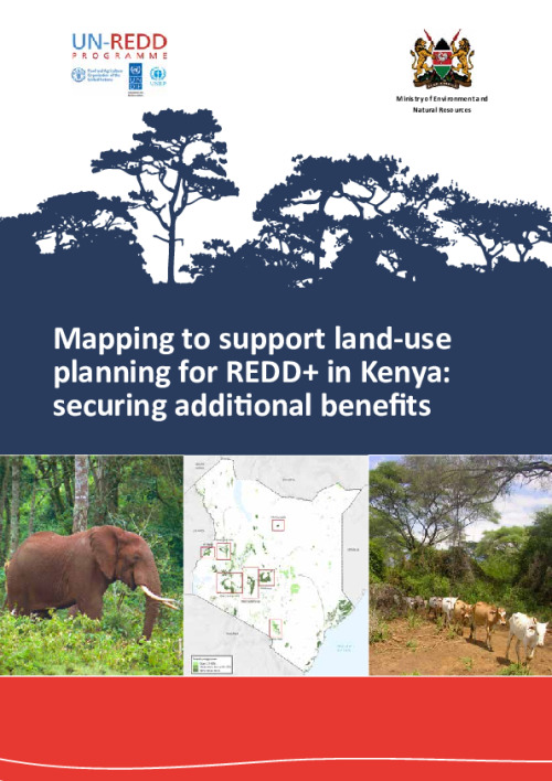
Mapping to support land-use planning for REDD+ in Kenya: securing additional benefits (low resolution)

Low resolution
High resolution version (~32mb) available here.
Very high resolution version (~115mb) available here.
REDD+ can contribute to more policy goals than to climate change mitigation alone. The priority of the Government of Kenya is to implement environmentally and socially sustainable land-use and forest policies. All REDD+ activities will be designed with a focus on additional benefits such as improving biodiversity conservation and the livelihoods of forest dependent peoples.
The Government of Kenya has identified a need for better access to comprehensive spatial data and maps on natural vegetation and land use, the biodiversity in relevant ecosystems, the ecosystem services provided by forest, and the geographical patterns of deforestation, forest degradation and their drivers. This information can inform spatial planning and design of REDD+ strategy options.
The purpose of this report is to support REDD+ planning in Kenya through the development of maps on the distribution of drivers of deforestation and forest degradation, potential additional benefits of implementing REDD+ activities, and different implementation possibilities for REDD+ strategy options.
Maukonen, P., Runsten, L., Thorley, J., Gichu, A., Akombo, R. and Miles, L. (2016). Mapping to support land-use planning for REDD+ in Kenya: securing additional benefits. Prepared on behalf of the UN-REDD Programme, Cambridge, UK: UNEP-WCMC.
Download the resource
Size: (3.474 MB)


